About Hungary
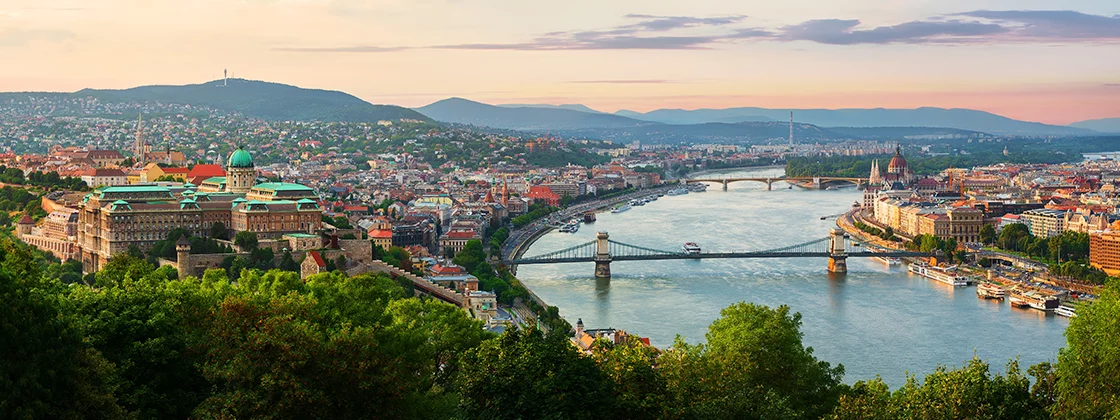
Administratively, Hungary is divided into 19 counties with the capital city of Budapest being independent of any county government. It is a landlocked country, situated in the Carpathian Basin. Its two longest rivers called Danube and Tisza divide Hungary into three parts: Dunántúl (“beyond the Danube”, Transdanubia), Tiszántúl (“beyond the Tisza”), and Duna-Tisza köze (“between the Danube and Tisza”).
Transdanubia, which stretches westward from the centre of the country towards Austria, is a primarily hilly region with a terrain varied by low mountains. These include the very eastern stretch of the Alps, Alpokalja, in the west of the country, the Transdanubian Mountains in the central region of Transdanubia, and the Mecsek Mountains and Villány Mountains in the south. The highest point of the area is the Írott-kő in the Alps, at 882 metres. The Little Hungarian Plain (Kisalföld) is found in northern Transdanubia. Lake Balaton and Lake Hévíz, the largest lake in Central Europe and the largest thermal lake in the world, respectively, are in Transdanubia as well.
The Duna-Tisza köze and Tiszántúl are characterised mainly by the Great Hungarian Plain (Alföld), which stretches across most of the eastern and southeastern areas of the country. To the north of the Plain are the foothills of the Carpathians in a wide band near the Slovakian border. The Kékes at 1,014 m is the tallest mountain in Hungary and is found here.
Despite its relatively small size, the country is home to numerous World Heritage Sites and UNESCO Biosphere Reserves. If you want to know more about Hungary’s amazing attractions, please visit the ‘Attractions’ menu or click HERE.
